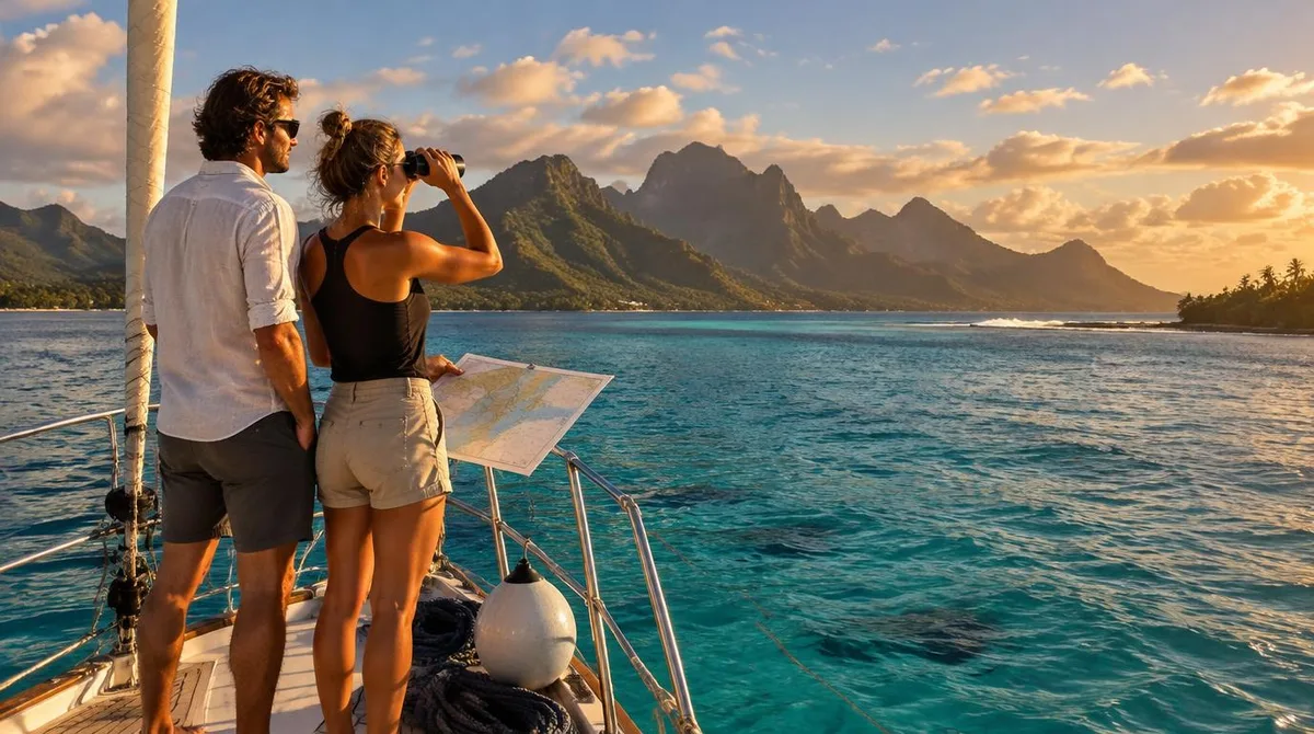
French Polynesia is the kind of cruising ground where the distances decide the itinerary. The country spreads across five archipelagos and 118 islands, yet the land adds up to roughly the size of Rhode Island, scattered over about two million square miles of ocean. Every crew arrives the same way: through Papeete, on Tahiti, where the country's only international airport sits beside the capital. That makes Tahiti both your clearance port and your supply base, and it shapes everything that follows.
The honest answer to "is it worth the miles" is yes, with a plan. The Society Islands offer sheltered lagoons and short hops between high volcanic islands. The Tuamotus, 77 atolls to the east, are the coral passes most crews dream about and the ones that deserve respect. Sail the Societies first, build confidence in the lagoons, then push east only when the weather and your eyes on the pass agree.
Where is French Polynesia, and what does that mean for a route?
Tahiti sits in the south Pacific, roughly halfway between California and Australia, in the same time zone as Hawaii. True Tahiti Vacation maps the country between latitudes 7° and 27° south, split into the Society, Tuamotu, Gambier, Marquesas and Austral islands. Only 65 of the 118 islands are inhabited, which tells you most of what you need to know about provisioning: plan around long gaps between towns.
For a visiting yacht, the practical geography is simple. The Society Islands sit close together. Moorea is a short hop from Papeete. The Leeward islands, Huahine, Raiatea, Tahaa and Bora Bora, string out to the northwest. The Tuamotus begin east and northeast of Tahiti, a chain of low coral atolls forming the largest chain of atolls in the world. The Marquesas lie about 1,500 kilometres northeast of Tahiti; the Gambiers sit nearly 1,600 kilometres southeast. Those are passages measured in days, not afternoons.
What should you know about Tahiti itself before you clear in?
Clearance happens in Papeete, the capital and the economic centre of the country. It is also where the crowds are: Tahiti held 191,779 people at the 2022 census, about 68.7 percent of the whole collectivity. The island is two eroded volcanic masses, Tahiti Nui and Tahiti Iti, joined by the isthmus at Taravao, with Mont Orohena rising to 2,241 metres. The interior of Tahiti Nui is almost uninhabited; the population hugs the coast around the capital.
Give Papeete a day, not an hour. The market downtown is the best place in the country to buy black pearls and stock fresh produce, and the roulottes, the food trucks on Place Vaiete, serve raw fish in coconut milk at prices that will not dent a cruising budget. My Little Polynesia, a site run by Moorea residents, argues that travelers who treat Tahiti as a mere transit stop are making a mistake, and that the island deserves at least three days: the wild Te Pari peninsula at the end of Tahiti Iti, the Papenoo valley, and the surf break at Teahupo'o, which carried the 2024 Olympic surfing events.
One seasonal note worth planning around: humpback whales arrive in these waters from roughly July to November, and tours run from Tahiti's west coast near Papeete. If your window overlaps, build it in.
When should you go?
The climate is steady rather than dramatic. Average temperatures in Papeete run between about 21 and 31 degrees Celsius with little seasonal variation, so the real question is rain and wind, not cold. November to April is the wet season; January is the wettest month, with 340 millimetres of rain in Papeete, while August is the driest at 48 millimetres. The dry months from May to October are therefore the classic window, with the trade winds doing what trade winds do: blowing steadily from the east, which matters enormously when you are choosing which side of an atoll to anchor on.
If you are mapping this against other grounds and seasons, our seasonal map of the best sailing destinations in the world puts French Polynesia alongside the alternatives for the same months. This connects to our earlier piece, Best sailing destinations in the world: a seasonal map.
What about the coral passes?
This is the part that separates French Polynesia from the Mediterranean and Caribbean circuits most readers know. The Tuamotu atolls are rings of coral around lagoons, and the only way in is through a pass, a gap in the reef where the ocean exchanges water with the lagoon. On an outgoing tide, the lagoon drains through that gap and the current can run hard against the wind, standing up steep, short seas. On slack water or a flood, the same pass can be calm. Timing the pass is not optional seamanship; it is the whole game.
Practical habits that experienced crews repeat: approach in mid-morning with the sun high and behind you so you can read the water colour, study the pass before you commit, and never enter on an ebb against strong wind. Once inside, the lagoons are their own world, pink and white sand islets, pearl farms, and water that changes from navy to pale green in a boat length. The Tuamotus reward self-sufficiency; services are thin, and the next help may be a hundred miles away.
What this means for your plan: do the Societies first if you are new to reef navigation. The high islands are easy to see on radar and their lagoons have generous, well-marked entrances. Move to the Tuamotus once your crew has settled into watch routines and you have weather windows you trust.
Which islands are worth the extra miles?
The Marquesas are the romantic answer. Reporting on the archipelagos describes them as dramatic and lush, with enormous green cliffs and volcanic peaks, and locals call them Te Henua 'Enana, the Land of Men. They sit about 1,500 kilometres from Tahiti, roughly a three-hour flight, which for a sailing yacht is a proper ocean passage of several days. Many ocean crossers from Panama or the Galapagos actually make the Marquesas their landfall first, then work southwest through the Tuamotus to Tahiti, which turns the long leg into a downwind run.
The Gambiers, near the far end of the Tuamotu chain, are the quietest of the five groups, with around 1,000 inhabitants across 14 islands, many on Mangareva. They suit crews who have already done the famous stops and want the version almost nobody visits. The Australs, south of the Societies on the Tropic of Capricorn, run cooler and see fewer yachts, with their own whale season and archaeological sites.
For most visiting boats, though, the core loop holds: clearance in Papeete, Moorea across the strait, then the Leeward islands and, if the season and nerve allow, the Tuamotus. That is a month of excellent sailing without a single ocean passage.
What does it cost, and what is the catch?
The catch is distance and logistics. Everything arrives through Papeete, so parts, provisions and even crew changes route through one airport, Fa'a'ā International, eight hours from Los Angeles. Fuel, chandlery and solid groceries are best sorted in Papeete before you head east, because the further you go, the thinner everything gets. Marinas and moorings are concentrated around the Societies; in the outer groups you are anchoring, often in coral, which means reading water and using your own gear.
Our analysis is that French Polynesia suits two very different trips. The first is the comfortable month: Societies only, short legs, lagoon anchoring, easy flights in and out. The second is the expedition: a proper ocean passage to the Marquesas, down through the atolls, out to the Gambiers, with the self-reliance that demands. The mistake is trying to be both in one short season. Pick the trip you can actually support, time the passes, and the sea out here will do the rest. Readers following this should also see The Amalfi Coast in a week: ports, timing, and the two hours that decide the trip.